 NY Property Peek
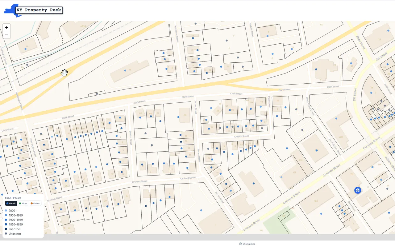
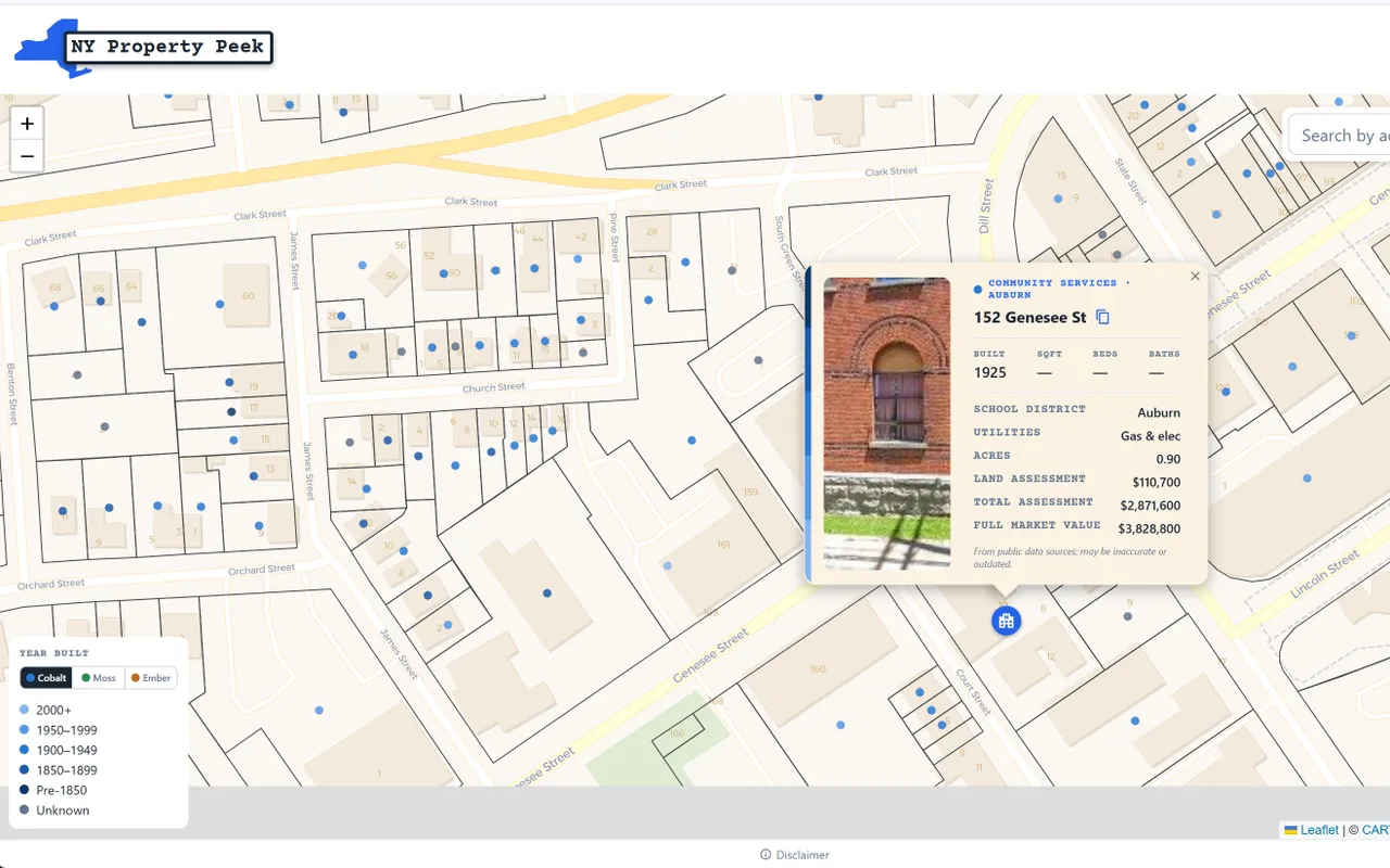
A map for looking up property details anywhere in New York State. Search an address or click the map to see year built, square footage, school district, and more.
The problem
New York's property records are split across 62 counties and 1,528 municipalities. Looking up basic facts about a house, like when it was built or which school district it's in, can mean hunting through dozens of separate county portals, each with its own interface.
What I built
One statewide map covering more than 5.5 million tax parcels. It works in any browser, and you don't need an account.
- Search by address, or click anywhere on the map
- See year built, square footage, school district, property class, assessed and market value, and acreage
- Parcel boundaries drawn on the map for the 38 counties that publish them
- Google Street View of the property
- County pages that break down each county's housing stock
Data source
New York State's public GIS tax parcel records.
One interesting decision
Clicking the map looks up the property at that location. Internally, each of the 5.5 million parcels is stored as a single point near the middle of its lot, not its full outline. A plain "find the nearest point" search would always return something. If you clicked the middle of a lake or a park, you might get a house half a mile away, which would be confusing.
So the lookup only accepts a match within 250 feet. That way, if you click on an empty space, you don't get a house that is half a mile away!
It stays fast because of a spatial index, which organizes parcels by location the way a filing cabinet organizes folders by drawer. Instead of checking all 5.5 million parcels, the lookup opens only the drawer for the area around the click and compares the few properties inside, so results come back in milliseconds.
Screenshots